On May 4, 2016 LAGEOS turned 40. For a satellite that is expected to stay in Earth orbit for 8.4 million years it’s the blink of an eye, but for the team involved in the project this birthday marks an exciting milestone. On May 11, scientists who worked on the LAGEOS mission gathered at the NASA Goddard Space Flight Center (GSFC) in Greenbelt, MD to pay homage to its considerable contributions to science over the last 40 years.
The LAGEOS (Laser Geodynamic Satellite) orbits in a “medium Earth trajectory,” the sweet spot where lasers can still detect it from Earth, but it isn’t subject to the atmosphere’s drag. It is passive, carrying no complex instrumentation. The satellite is an extremely dense ball (60 centimeters in diameter, but 407 kilograms) uniformly covered with 426 reflectors for pinging laser beams back to Earth. The original concept was to use a depleted uranium core and name it “Cannonball.”
“You can imagine the PR we got,” says Mike Pearlman, director of the Central Bureau of the International Laser Ranging Service (ILRS) of the Harvard-Smithsonian Center for Astrophysics. The launched version was much smaller and simpler. It used a brass core and took the name LAGEOS (pronounced lay-jee-ose).
“LAGEOS was the first North American satellite dedicated exclusively to laser ranging,” says Erricos Pavlis, research scientist at the Joint Center for Earth Systems Technology (JCET), a collaboration between UMBC and NASA. The French launched a similar satellite, Starlette, just a year earlier in 1975. Initially, there were only 12 stations on Earth that ranged to the satellite. Today there are more than 35 that track it daily; over the satellite’s lifespan 120 different stations have tracked LAGEOS.
LAGEOS has provided critical data for a variety of research projects during the last four decades. Pavlis, who earned his Ph.D. from research on LAGEOS, says “laser was the method that first showed the way” for measuring tectonic plate movements. Its data is also used to measure polar motion, changes in Earth’s rotational axis relative to its crust.
LAGEOS has also provided information about Earth’s interior, useful in developing models to explain earthquakes, measure sea-level rise, and monitor change in station heights on the Earth’s crust. “It has proven an unfathomable tool,” says Pavlis. “It has produced much higher-quality results than were originally expected.”
David Smith, the first lead project scientist on the LAGEOS mission, shares Pavlis’ positive feelings. “I was fortunate to be in the right place at the right time,” he says. “LAGEOS was the beginning of many things—a great beginning.”
The existence of LAGEOS made many projects, including international collaborations, possible, such as the Crustal Dynamics Project, Goddard Earth Models (GEM), and the TOPEX/Poseidon missions. LAGEOS helped “create an international community focused on solving geodesic problems,” says Pavlis.
The quality of data produced by the satellite has drastically improved since its launch. Pearlman pointed out that the original laser pulse duration was 20 nanoseconds, and his team was proud when they reduced that to six nanoseconds. Today, the pulse duration is on the order of picoseconds, 1000 times shorter. Similar gains have occurred in the rate of the transmitted pulses.
These improvements in laser technology have increased the accuracy of the data produced by LAGEOS. Its measurements were initially accurate on the order of meters; today they are accurate to a few millimeters.
Many laser ranging satellites have been launched since LAGEOS, including LAGEOS-2 in 1992 and the Laser Relativity Satellite (LARES) in 2012. Pavlis is the U.S. principal investigator for LARES, an Italian Space Agency mission launched by the European Space Agency. “There have been a whole fleet over the last 25 years,” says Frank Lemoine, geodesist at NASA GSFC.
Perhaps that speaks to the utility of such satellites for providing a relatively low-cost means to collect data that can be used to answer so many different scientific questions. In fact, “If you look up, what you see is there’s still more room for LAGEOS satellites,” says Pearlman, noting, “They’re a neat investment with a big payoff.”
For more on LAGEOS, read “NASA Put a Big Disco Ball in Space 40 Years Ago, and It’s Still There” from Space.com.
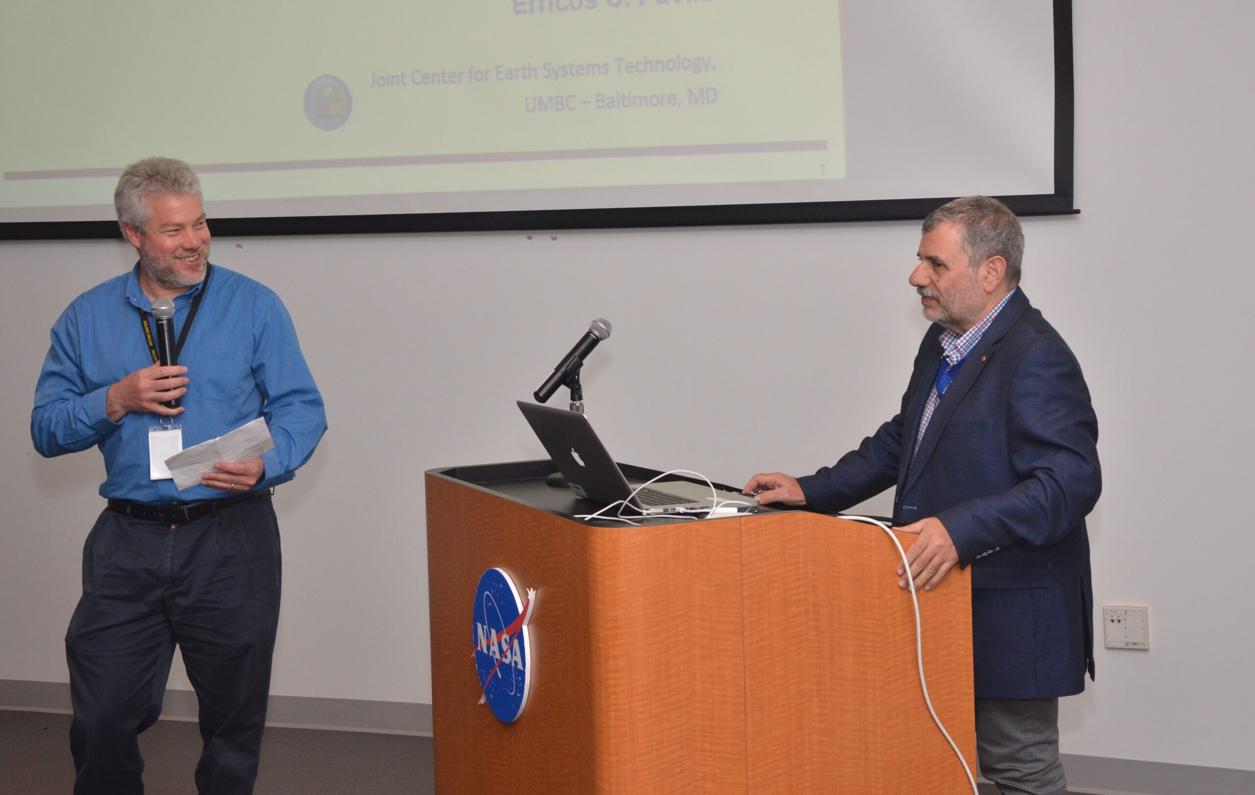
Image: Steve Merkowitz introduces Erricos Pavlis; photo: Jay Friedlander.