The Chesapeake Bay Trust, a non-profit organization dedicated to restoring the Chesapeake Bay, has recently funded a high-resolution mapping project that will inform restoration efforts in the Chesapeake Bay Watershed. Matt Baker, professor of geography and environmental systems and expert on ecological restoration, will contribute to the project by developing and studying cutting-edge stream mapping methods in partnership with the Chesapeake Conservancy.
Baker’s project will focus on mapping tiny headwater channels (the points where streams begin) that can be hard to detect with traditional mapping techniques. “Headwater streams turn out to be really important, because that’s where human activities have a much more direct impact on downstream conditions,” says Baker. He explains, “Headwaters are intimately involved in transporting whatever we put onto the landscape down toward larger systems and the Bay. They’re the places where the land-water connection happens.”
Baker’s project will use Light Detection and Ranging (LiDAR) to map select locations in a wide range of landscapes across the watershed, from mountains to coastal plains, agricultural fields to urban sewer outfalls. LiDAR directs laser pulses from aircraft down at Earth’s surface, and how quickly and the angle at which the pulses return to the aircraft are used to detect the land surface’s height and whether it’s covered by plants or water.
Although LiDAR generates detailed maps, “current computer algorithms can be fooled” by some terrain results, so a human interpreter is still needed to ensure accuracy, Baker explains. In an effort to improve how computers can do this work automatically, the project will test the performance of a variety of new algorithms in different physical settings.
A later phase of this work will attempt to map every stream in the six-state, 64,000-square mile Chesapeake Bay Watershed based on recommendations that Baker and the Chesapeake Conservancy make about which mapping methods will work best, and where.
Mapping streams, and especially previously unmapped headwaters, has major implications for protection of the watershed. “Currently, there’s some controversy over what constitute the ‘waters of the United States,’ which are protected by the Clean Water Act,” Baker says. Smaller headwaters may not be included if they haven’t been mapped. Although Baker is not in a position to decide which waterways make the legal cut, “We can provide information that can inform those decisions,” he says.
Also, mapping headwaters has a role to play in preventing pollution from reaching the Bay. “The stream network is really the circulatory system of the Bay watershed,” Baker says, “and getting a better picture of that is critical for understanding water movement, erosion, and how pollutants and wastes are transported, as well as what features are important for keeping the water clean.”
Overall, his project with the Chesapeake Conservancy is “a great example of a partnership among agencies, academia, and non-profits,” Baker says. “I’m a researcher, the Conservancy is a non-profit conservation organization, and we are working with state and federal agencies to give them a product they can use to better manage the restoration efforts in the Bay watershed.”
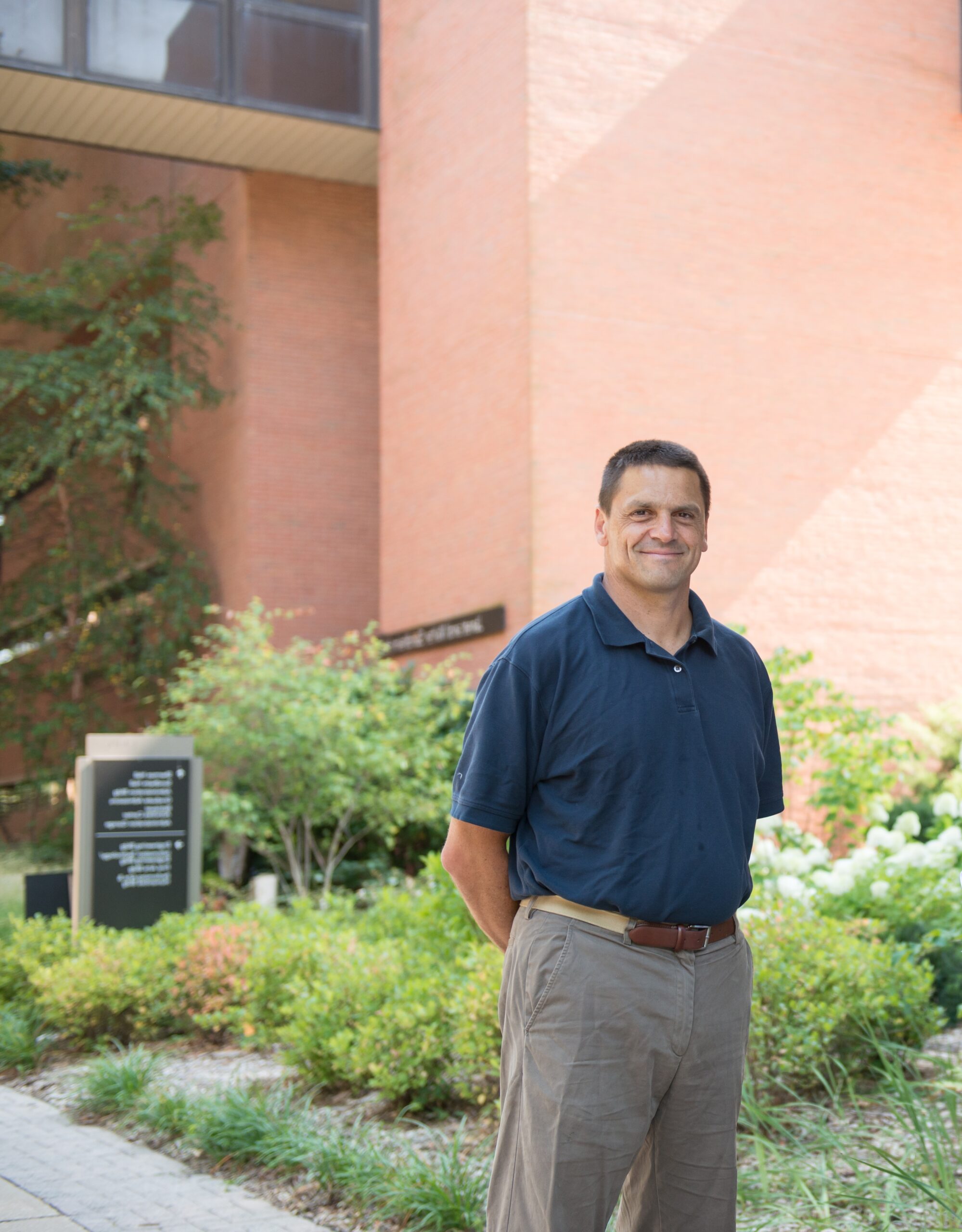
Image: Matt Baker, professor of geography and environmental systems. Photo by Marlayna Demond ’11 for UMBC.